The story
Decades in a pipe. Then daylight.
- Before the 1930sThis was Harrow Meadow, a wet field beside the River Quaggy that flooded when the river rose.
- 1930sAs houses spread across the area, the council put the river in a pipe and laid playing fields on top. The park opened in 1937.
- The floods kept comingWith nowhere to spill, the Quaggy still flooded the streets downstream.
- 2004The Environment Agency lowered the middle of the park to hold flood water, brought the river back to the surface to wander through marshy meadow, and made wetlands and a lake. Their board by the path says the scheme protects 600 homes.
- 2006The heart of the park became a Local Nature Reserve. It is also a Site of Borough Importance for Nature Conservation.
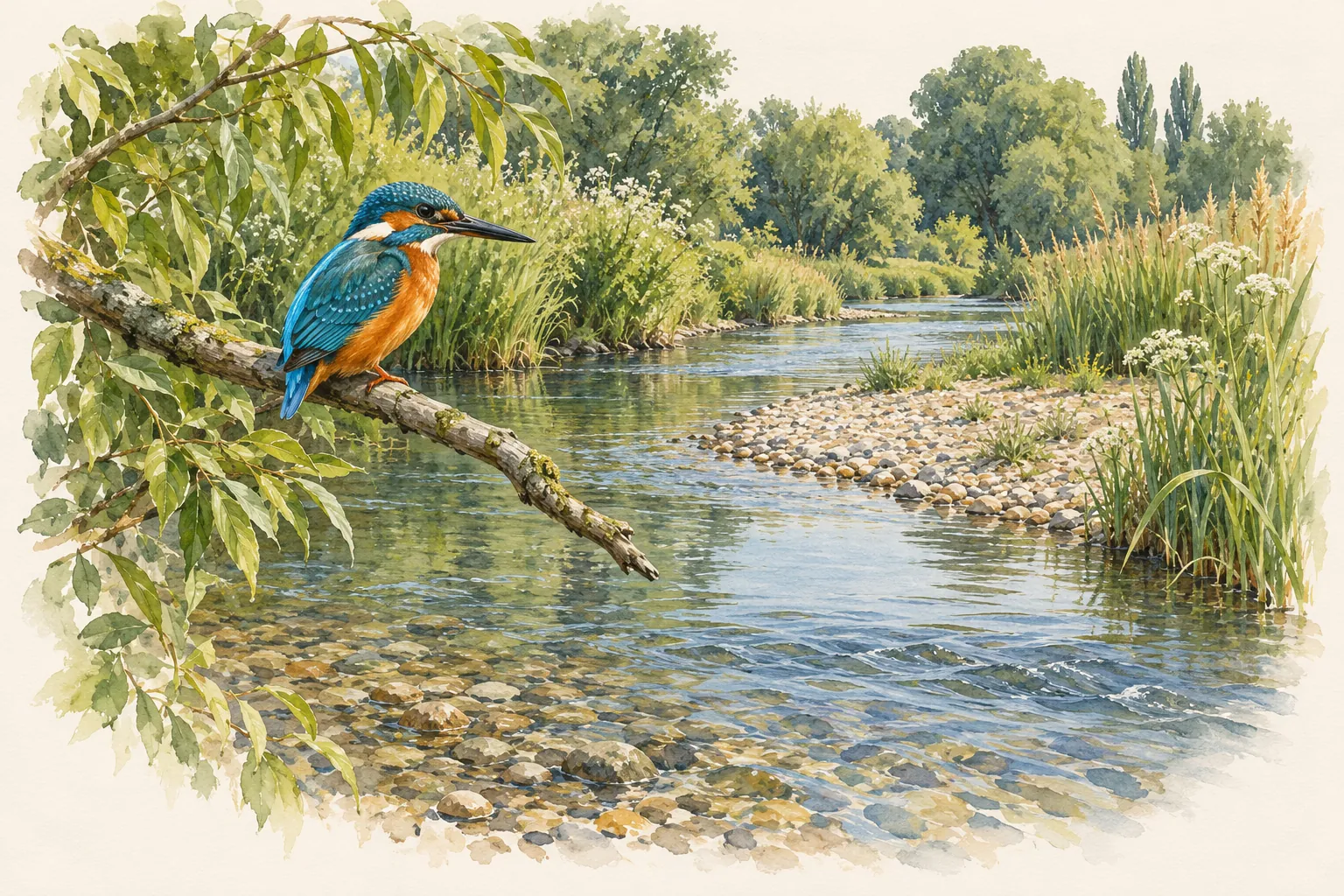
- TodayHerons, kingfishers, little egrets, reed warblers, snipe, dragonflies and damselflies all use the park, and so do the runners, every Saturday morning.
Sources: the Environment Agency and Royal Greenwich information board in the park (2004); Wikipedia, "Sutcliffe Park".